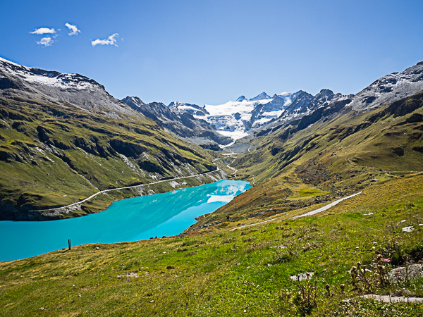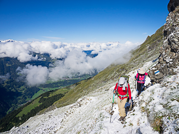
September 12 – Evolene to Grimentz – 10.8 miles, +3900/-2400 feet


Introduction
The Haute Route (Walker’s High Route or WHR in many books) is a roughly 130 mile walking route across the Pennine Alps of central France and western Switzerland. It begins in the French resort of Chamonix below Mont Blanc, the highest peak in the Alps, and concludes in the Swiss resort of Zermatt, beneath the Matterhorn, Switzerland’s most striking mountain. In between, it passes westward from valley to valley parallel to the spine of the Alps, offering dazzling mountain scenery, punctuated at frequent intervals by picturesque villages and towns. The route is well marked and requires no special equipment or guide. Unlike long-distance treks in the mountains in California, the Haute Route has plenty of hotels and mountain inns along the way, so one need not carry anything more substantial than a daypack. Unsurprisingly, it has also become quite a popular trip, and while it remains far less crowded than the nearby Tour du Mont Blanc, it does see plenty of traffic, especially in the middle of the summer.